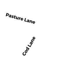
38 COD LN
Owner Information
DUDIK LAURIE A
38 COD LN
CHATHAM, MA 02633


Property Details
38 COD LN is classified as a Single Family Residential (Ranch).
The primary structure on this property was built in 1964. There are 1,232ft2 of built area within this property. There is 1,232ft2 of residential/living space within this property.
38 COD LN is valued at $440,800. The land is valued at $308,100 and the structures are valued at $132,700.
This property is in Zone R40. Confirm with local Zoning Board authorities to ensure there are no overlays or other easements on this property.
The most recent deed for 38 COD LN is recorded at the local registrar in Book 24375, Page 122. 38 COD LN was last sold on Thursday, February 18, 2010 for $9.
Assessment data from fiscal year 2018.
Flood Data
According to the FEMA National Flood Hazard Layer, this property does not appear to be in a flood zone. It may also be in an area not yet reviewed. Nonetheless, confirm this information prior to taking any action.
To view the flood hazards around this property, create a FEMA "Firmette" Map of the area around 38 COD LN.
Broadband Internet Providers
| Provider | Type | Bandwidth (mbps) | |
|---|---|---|---|
| VSAT Systems, LLC. | Satellite | 2 | 1 |
| Viasat Inc | Satellite | 35 | 3 |
| Verizon New England Inc. | DSL | 15 | 1 |
| Comcast | Cable | 1000 | 35 |
| T-Mobile | Fixed Wireless | 25 | 3 |
| GCI Communication Corp. | Satellite | 0 | 0 |
| HughesNet | Satellite | 25 | 3 |
Broadband service provider data from December 2020.
Adjacent Properties
- 214 BARCLIFF AVE
Single Family Residential owned by JENNIE E RODERICK NOMINEE TRUST - 212 BARCLIFF AVE
Single Family Residential owned by CONNOR DONA E - 56 COD LN
Single Family Residential owned by JONES KYLE D & JESSICA L - 35 MOUSEHOLE LN
Multiple Houses on one parcel owned by ROWLINGS DIANE K - 0 MOUSEHOLE LN
Undevelopable Residential Land owned by PRATT MICHAEL H & BOONLUER T T/E